

12/08/2026
Several articles related to the n-Dame_Heritage project were published in 2026, reflecting ongoing developments in artificial intelligence, visual localisation, and situated field documentation. These contributions explore complementary ways of connecting digital representations with expert observation and interpretation, from the construction of AI-ready datasets to image-based localisation and augmented field documentation. Here is a selection:
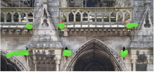
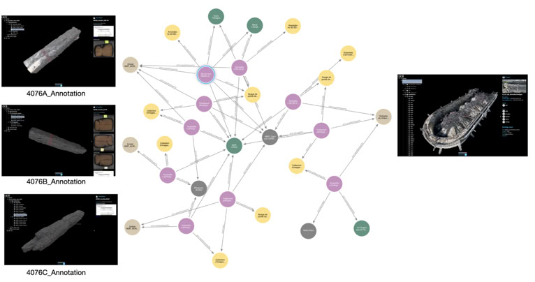
Réby K., De Luca L. Semantic and Geometric Datasets Creation for Monument Analysis: A Framework for Expert-Guided Annotation and AI Models. Journal on Computing and Cultural Heritage, 2026. https://doi.org/10.1145/3814960
This paper proposes an integrated framework for representing the provenance, transformation steps, and interpretative contexts of 3D digitisation workflows. By embedding provenance and context into the documentation process, the authors demonstrate how semantic models can improve traceability, interoperability, and multi-temporal reuse of heterogeneous 2D, 3D, and documentary datasets, with case studies drawn from the scientific corpus of Notre-Dame de Paris.
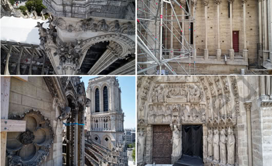
Blettery E., Gouet-Brunet V., De Luca L. Evaluating and Adapting Image Retrieval for Visual Localization: A Study on Monumental Architecture. Journal on Computing and Cultural Heritage, 2026. https://doi.org/10.1145/3798050
This study investigates image retrieval strategies for visual localisation in complex architectural environments, using the extensive photographic corpus of Notre-Dame de Paris as a real-world case study. By comparing visual and spatial retrieval approaches and introducing the CIR4Loc framework, the authors show how image selection can take into account both visual similarity and spatial distribution, improving camera pose estimation and the localisation of new observations within large heritage image collections.
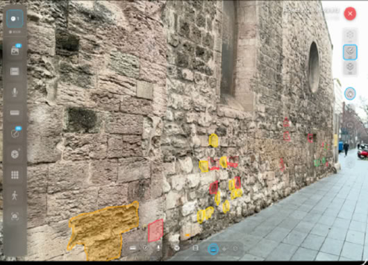
De Luca L., Comte F., Pamart A. Dür.air: Reconciling Acquisition and Interpretation in Cultural Heritage Field Documentation. The International Archives of the Photogrammetry, Remote Sensing and Spatial Information Sciences, Vol. XLVIII-2/W12-2026, 2026, pp. 129–136. https://doi.org/10.5194/isprs-archives-XLVIII-2-W12-2026-129-2026
This contribution presents dür.air, a mobile approach designed to reconnect digital acquisition with the situated and interpretative nature of field observation. Combining 3D capture, persistent augmented reality, and reality-based annotation, the system enables researchers and practitioners to document observations directly within their spatial context. Rather than separating data capture from subsequent interpretation, dür.air supports an interpretation-driven workflow in which measurement, observation, and annotation become part of the same documentation process.